History
The first Upper Gascoyne Road Board was gazetted in 1887, with its boundaries being the Tropic of Capricorn in the north, the State border in the east, the Murchison River in the south and the Lower Gascoyne Road Board’s border in the west.
The first meeting conducted by the Shire of Upper Gascoyne Road Board was held on the 28th of November in 1907.
When the first European settlers began to settle the pastoral lease of the region it was inhabited by Aboriginal tribes who were believed to have been on the land for thousands of years. There are no written records of the boundaries each Aboriginal tribe inhabited but it was believed they were set by the rivers, hills and other such changes in the land that had set their own complex rules and social structures.
Today, the Shire of Upper Gascoyne covers much less ground and is approximately 57,809 square kilometres in size. There are two major Aboriginal communities in the Shire; these are Burringurrah Community and Woodgamia Community.
The region boasts a number of natural tourist sites including Gascoyne River, Kennedy Range National Park and Mount Augustus Park.
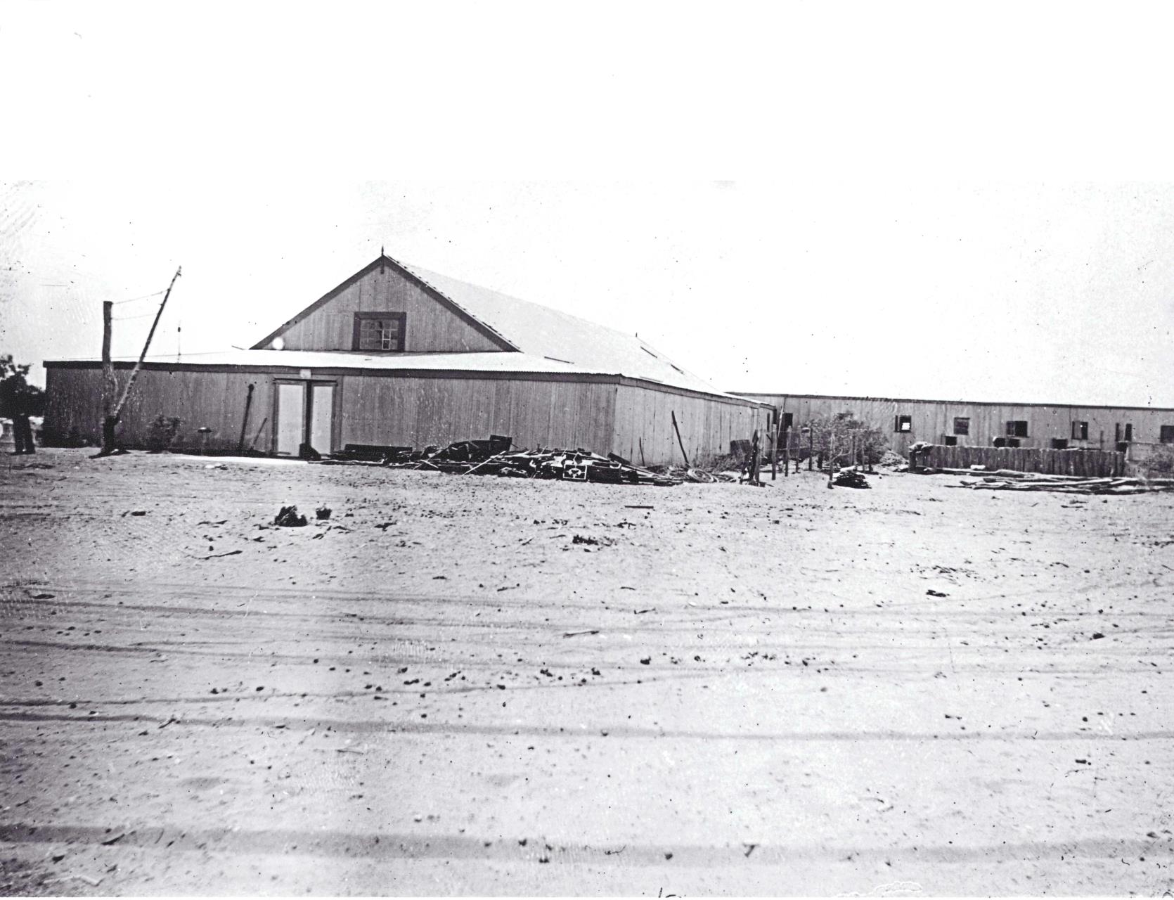
Original Bidgemia Homestead with 36 stands. Near Gascoyne Junction in the Shire of Upper Gascoyne.